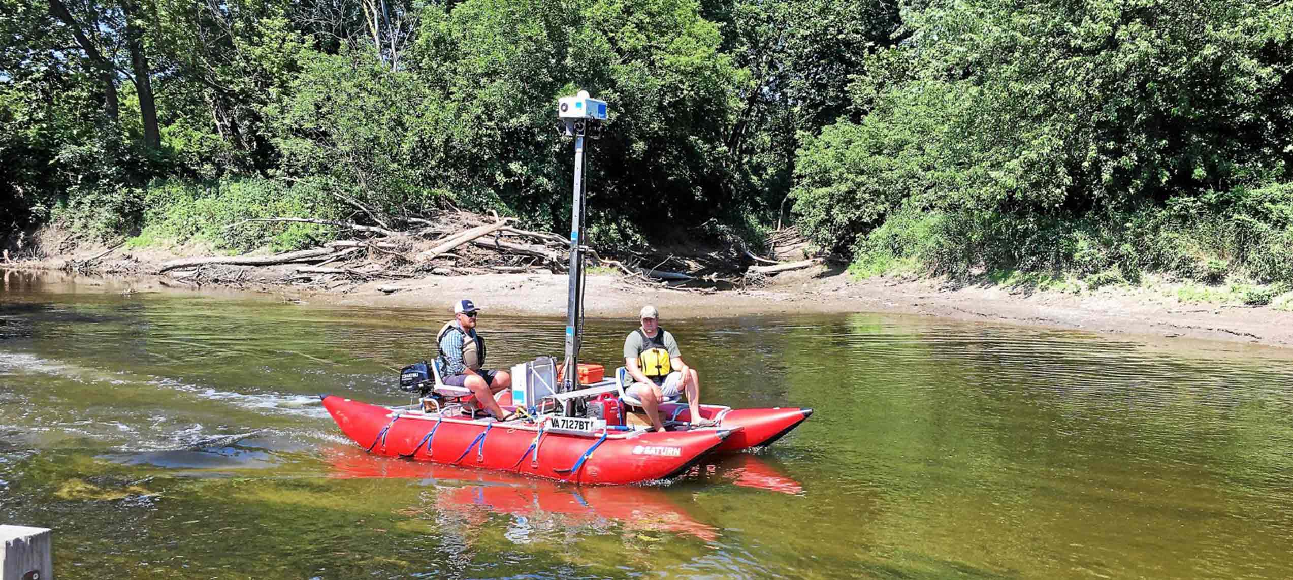
Mapping the James River & Tributaries
In 2014 Terrain360 and the James River Association embarked on a first of its kind project. Mapping the entire length of James River using 360° ultra-high-resolution imagery. This groundbreaking project has been viewed over 1,000,000 times. In 2020 Terrain360 partnered with Virginia Commonwealth University to re-map several sections of the James River east of Lynchburg VA to compare shoreline change from 2014.

High resolution water based image data collection
The Fall Line
Explore a geological marvel
View in high resolution 360° imagery, preserved for future generations.


