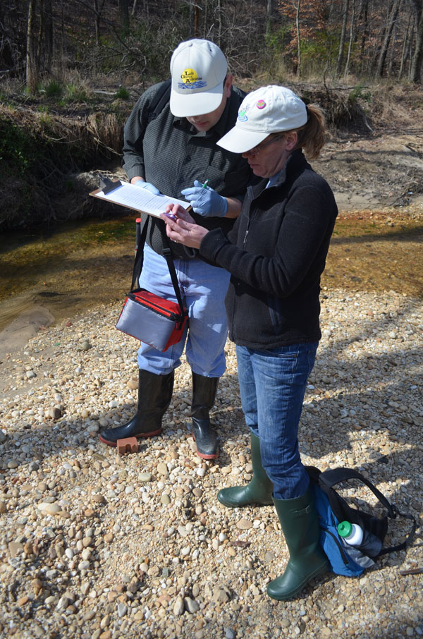
Water Quality Monitoring
Volunteer to help track river health.
While the James River is a great place to cool off, it can carry extra pollutants during periods of high water and after heavy summer downpours. Some segments of the river are impaired due to excessive harmful bacteria, which can make an afternoon on the river less enjoyable. That’s why we need volunteers to help communicate water quality results with the public to Know Before you Go!
What is the James River Watch?

James River Watch is a map that communicates bacteria levels and other river conditions to the public. During the summer, weekly swimming and paddling conditions are made available at www.jamesriverwatch.org. Before you head down to the banks of the James and take the plunge, remember that it pays to know before you go!
")
Why Monitor Bacteria?
Tracking Real-Time Risks
Rainfall is the primary driver of poor water quality. In 2025, unusually high precipitation caused the river’s safety rating for swimming and paddling to drop from 85% down to 76%. Monitoring allows us to track these fluctuations so the community can “know before they go” after summer storms.
Protecting Public Health
High levels of fecal bacteria aren’t just unpleasant—they pose real health risks, including skin infections and gastrointestinal or respiratory illnesses. Our volunteers collect hundreds of samples annually across the watershed to identify when bacteria levels exceed safety thresholds for recreation.
Identifying Pollution Sources
While wastewater treatment has improved significantly, the James still faces challenges from “non-point source” pollution—runoff from streets, lawns, and farm fields. Your data helps us pinpoint where bacteria spikes are most persistent, from the Allegheny Highlands to the Chesapeake Bay.
Driving Long-Term Restoration
The data you collect is directly used by the Chesapeake Monitoring Cooperative and the Department of Environmental Quality to monitor waterways for impairments and also helps JRA advocate for better stormwater controls and critical infrastructure upgrades that will protect the river for future generations.
Frequently Asked Questions
What day do you sample?
Volunteers collect water and take measurements on Thursdays between 9 am and 2 pm. Depending on the site, there may be a short amount of time on Friday required to read your sample results prior to 2pm.
Do I have to sample every week during the summer? I have a vacation planned, can I still sample?
Before the season starts we try to get the availability for all of our volunteers and create a schedule for the whole summer. Typically, volunteers will be assigned 3-4 weeks when they have indicated they are available, though that number may change based off of your availability and the availability of other volunteers.